Welcome!
I am an Environmental professional interested in conservation and sustainability.
Through my current roles with the California Department of Fish and Wildlife, Green Coalition of the San Jacinto Valley, and San Gorgonio Chapter of the Sierra Club, I have been able to make an impact on local Environmental issues.
Community Impact Report correlating tree condition and spatial income distribution.
An organization website I created for the Green Coalition of the San Jacinto Valley, including projects, outreach possibilities, and history of the group.
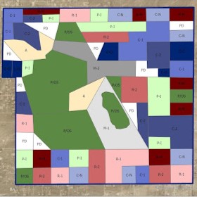
A city-planning mapping project including population, traffic, and zoning features.
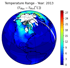
A Temperature Range Animation Creator made using python scripting, NetCDF datasets, and Jupyter notebooks.
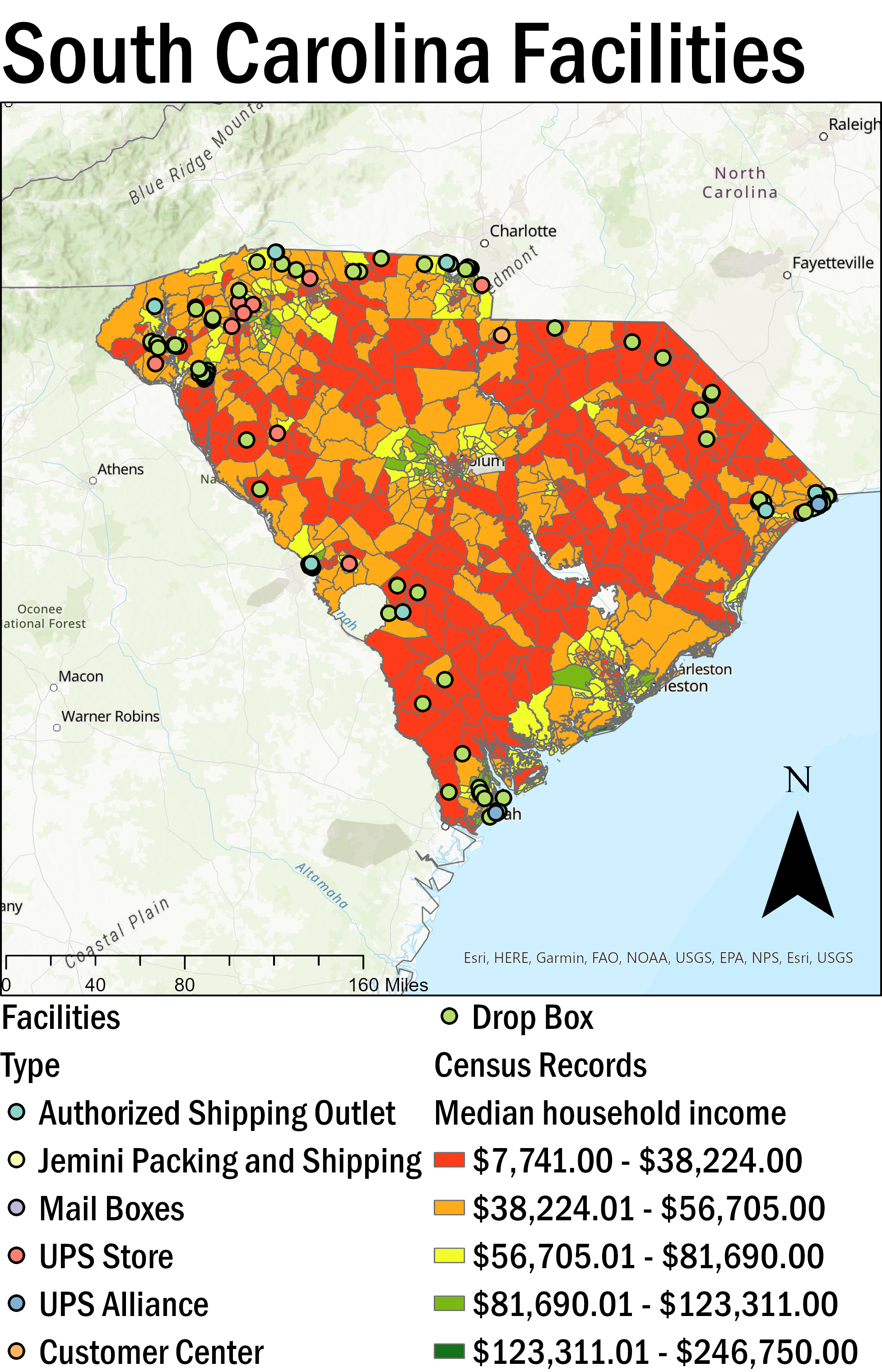
A presentation with maps of UPS facility distributions by denstity.
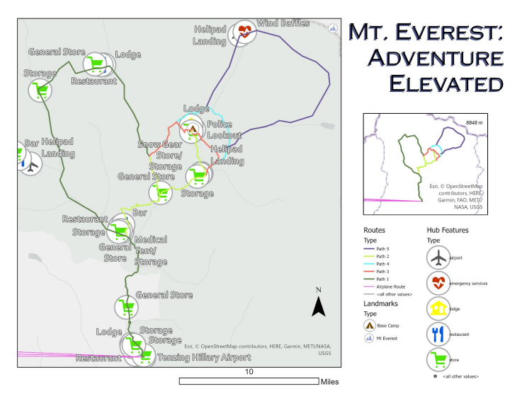
A presentation with maps of Mt. Everest Base Camp Trek.

An animated map using Blender and GIS.
